Welcome
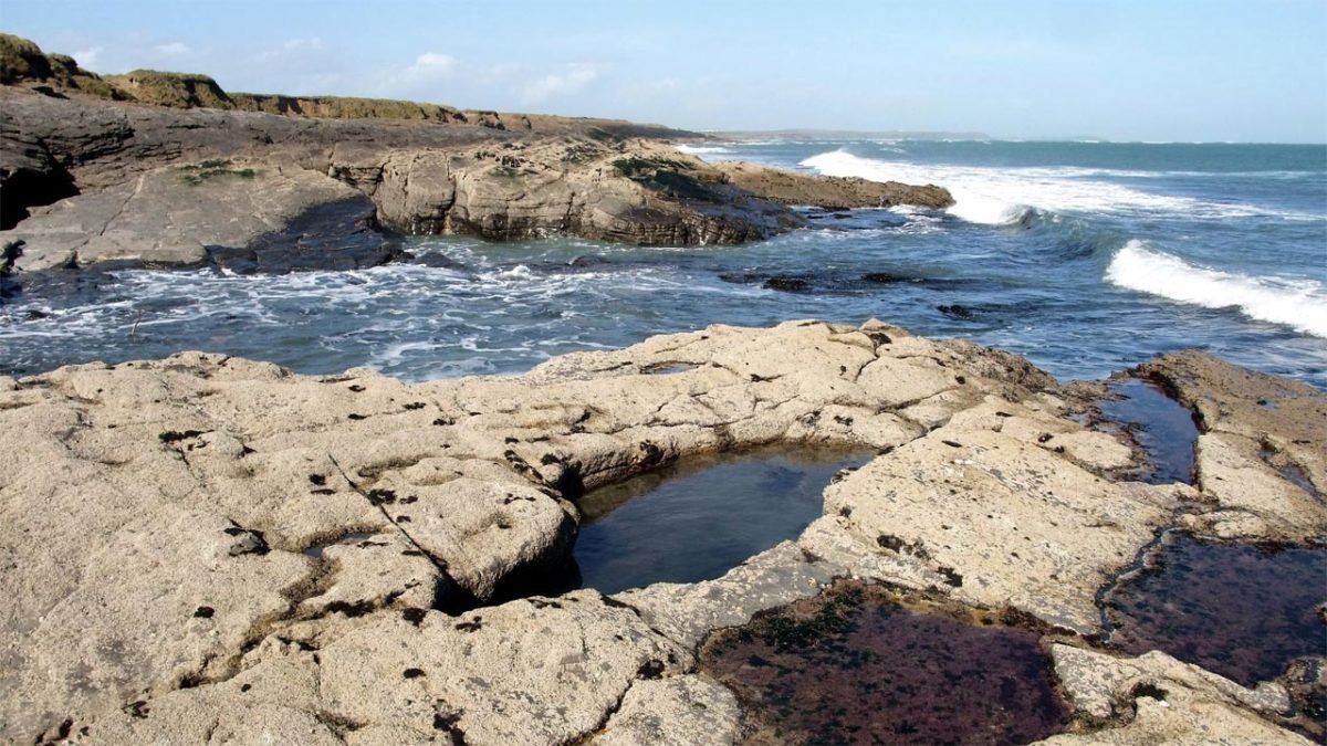
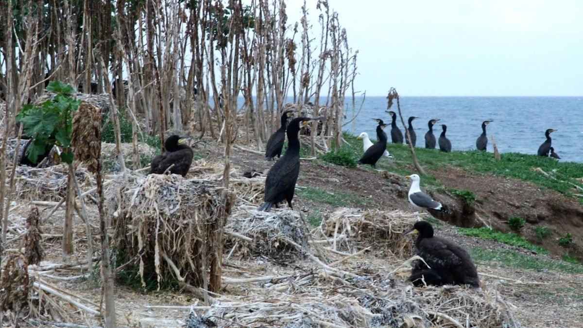
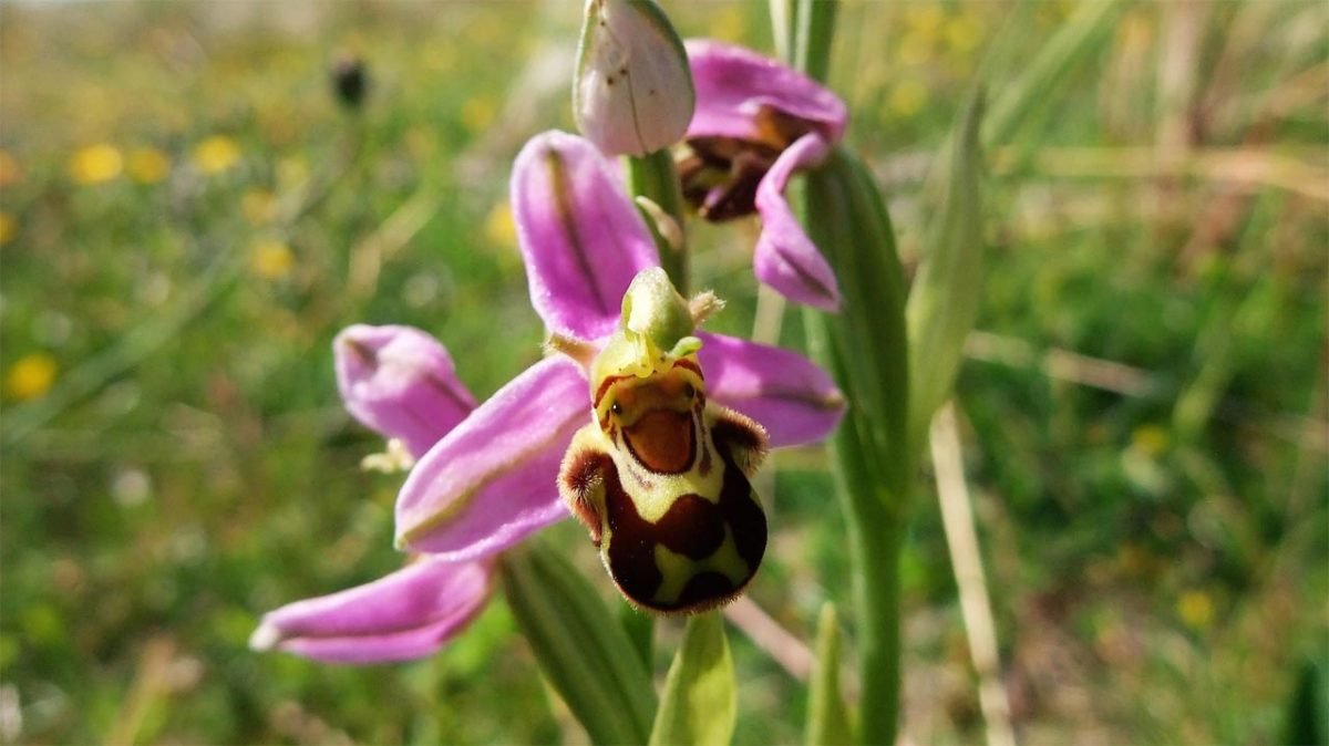
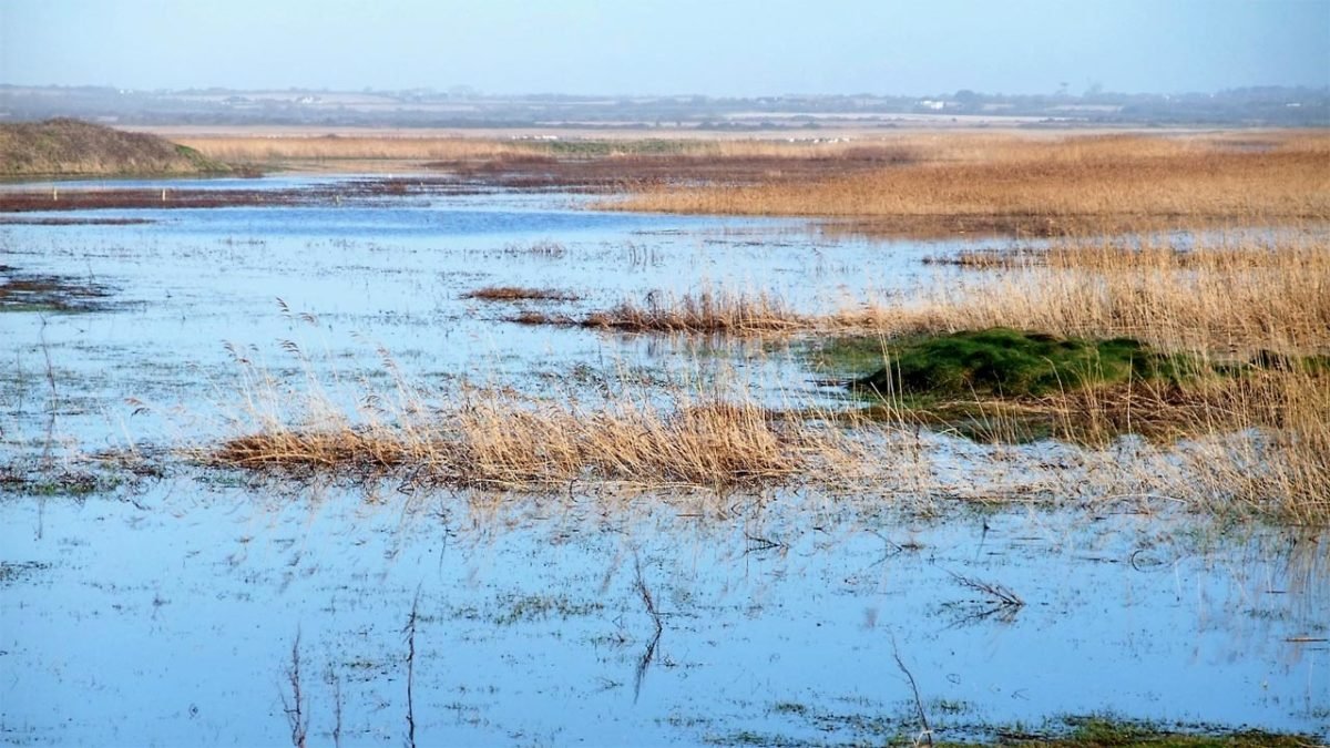
The South Wexford Coast is a natural heritage coastline. Located in ‘the Model County’ in the sunny south-east corner of the island of Ireland, the south coast of County Wexford is one of Ireland’s special places. It is special because this lovely area supports a wealth of natural heritage resources and a unique cluster of nature sites.
An outstanding coastal strip, the South Wexford Coast extends from the early 13th century lighthouse at the craggy, limestone tip of Hook Head in the west, to the gently rounded, granite headland of Carnsore Point in the east; a foreland called Sacred Cape by the Greek cartographer Claudius Ptolemaeus, Ptolemy of Alexandria, in the atlas he compiled in the second century AD.
This richly endowed coastal strip, though only 40km (25 miles) long, supports thirteen sites each rated of international importance. These thirteen sites comprise eight places connected either to each other or together by the inshore waters of the Celtic Sea. To have so many sites of such importance clustered together on so short a length of shoreline makes the South Wexford Coast one of Ireland’s outstanding natural heritage resources.
Further reading
Tap or click the following links:-
Explore the following eight places on the South Wexford Coast


